Job-site safety
How might Ford and a construction company partner to create the safest environment for those on and near a job site?
Project type
This was a discovery project, a phase zero of sorts, since it was part of D-Ford, Ford's innovation team. Our job was to research the problem, socialize what we learned inside Ford, and hand off a design direction to the relevant teams.
My role
Concept development, technology assessment, UI/UX
Outcome
- Successfully acquired the project for further development with the client
- Design solutions fed Phase 2 implementation as foundational inputs
- Design opportunities supported Ford's commercial vehicle and services strategy
Context
Constant accidents
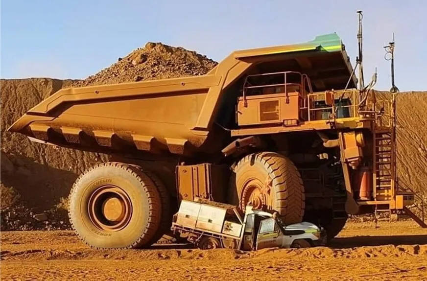
Job sites are dangerous environments, with a lot of vehicular activity and heavy machinery being used. In addition to that, there is always changing weather, road conditions and terrain. If not managed properly, accidents can lead to fatalities or millions of dollars in liability costs.
Our client deals in major construction, infrastructure and mining projects with procurement budgets averaging $7 billion, and they buy anywhere from 500-600 Ford trucks every year. One of their biggest pain points was managing these constant accidents.
5 years of incident data. 1500+ rows of entries.
Why would the most experienced operators crash the most?
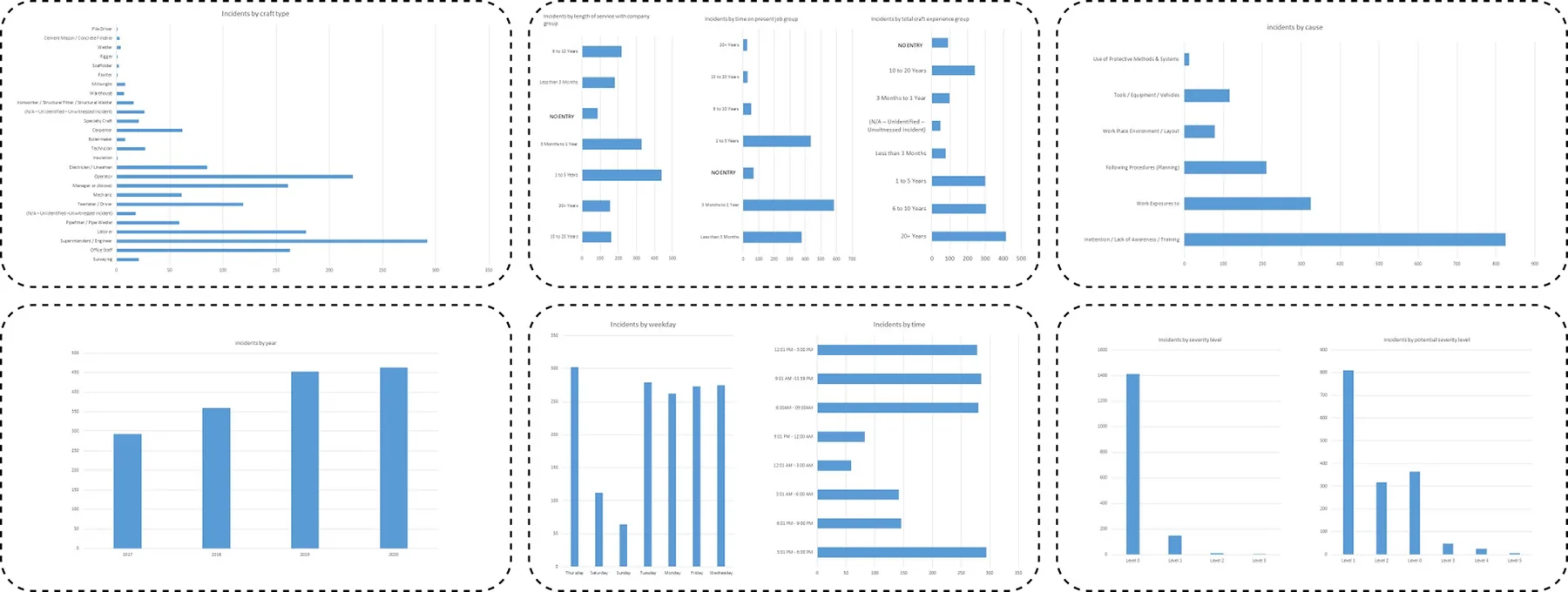
The client shared three data sets with us. The big one was the incident data, a large Excel sheet that captured every incident in meticulous detail. I had to wear my data analytics hat and start digging into it, and it revealed some interesting patterns.
I found that operators with 20+ years of experience had the highest rate of getting into accidents. This was an interesting finding, so I decided to investigate further.
I hypothesized that drivers become complacent after a certain amount of experience, and they start tuning out critical safety alarms and notifications. I took this to the client for further discussion, and then worked with the research team to turn it into questions for our interviews.
 Safety extends beyond the individual
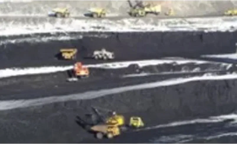 Dynamic job sites require adaptable workers
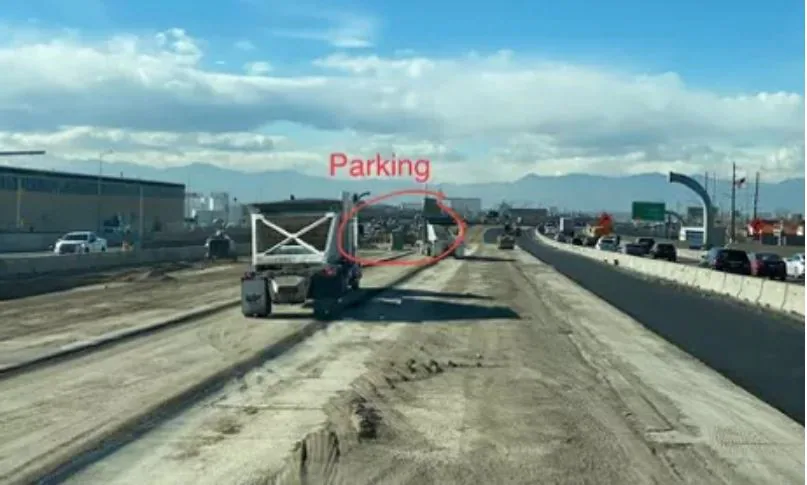
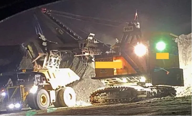 Visibility is a constant concern
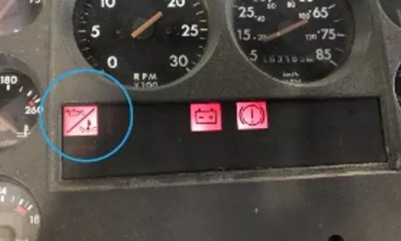 Sensory overload makes alarms lose effectiveness
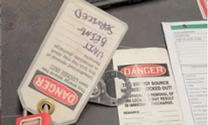 Even the best-laid plans won't prevent all accidents
The insight
A cyclical safety journey
At this stage, we were starting to understand the entire safety journey on the job site, which is essentially cyclical. You have a lot of robust processes in place that are followed across the work shift, if an incident occurs it gets thoroughly documented, and the learnings from that incident feed into the process.
So our central question changed. How might we transition from a "reactive" to a "proactive" monitoring system?
Concepts
Telling the story in VR
I then worked with the client to capture use cases across different incident severity levels, right from level 1 to level 5. Based on these, I created a lot of early-stage concepts that were highly spatial, with a lot of interconnected features as part of a larger system.
So I thought the best way to present these ideas was to tell a story through a short animation, so that it's more relatable for the client as opposed to simply showing sketches, and also easier for our internal stakeholders to empathize with a new problem space. I made these videos in VR for immersive storytelling.
The solution area around dynamic geofencing, 3D job site capture and fleet alert customization was at the perfect threshold of Ford's business interests, feasibility and what the client had an interest in investing in.
The key idea
Using the onboard cameras already on the trucks to capture the whole job site in 3D.
What I explored first
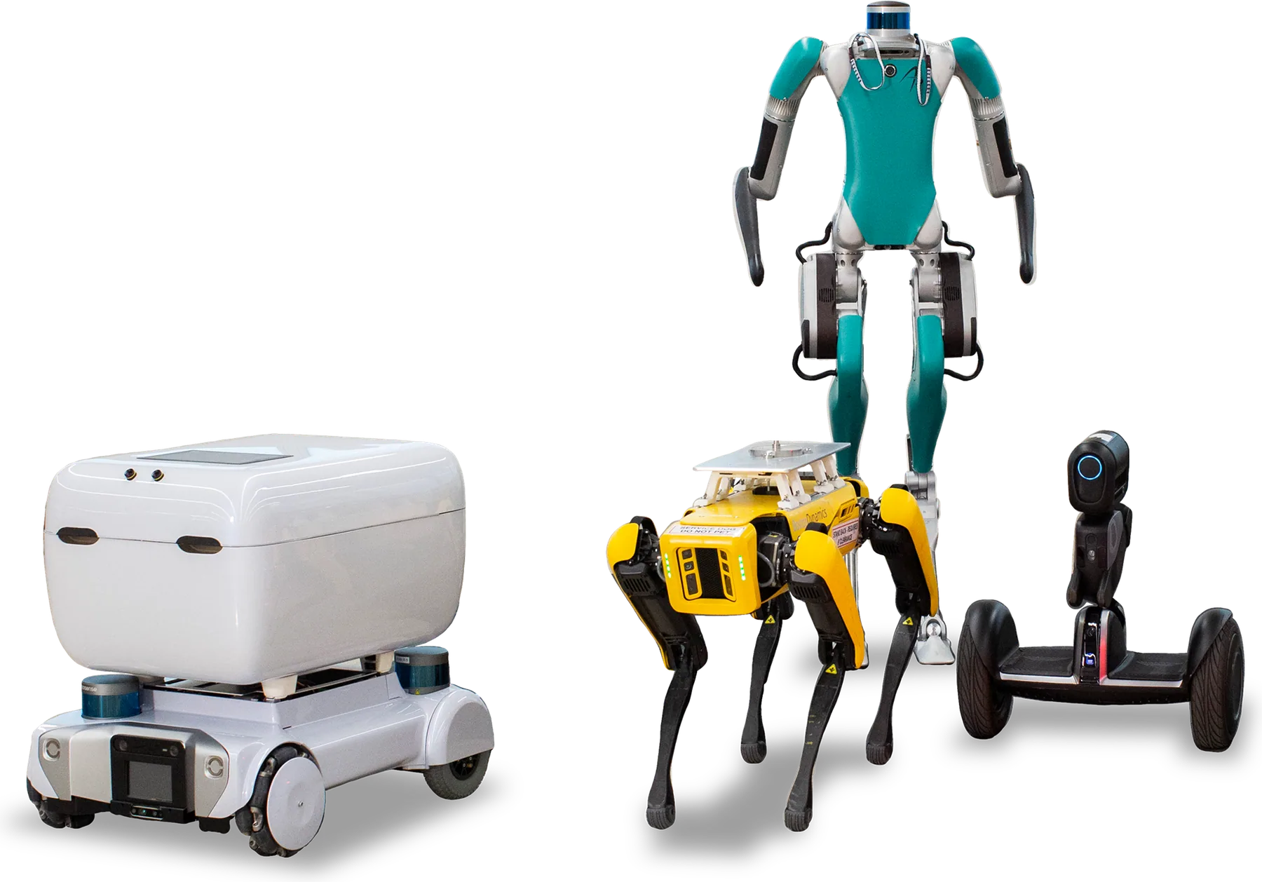
All of this needed a 3D model of the job site. I initially explored advanced approaches like deploying a swarm of drones, or using quadruped and humanoid robots from Ford's robotics portfolio. While technically feasible, these solutions introduced significant complexity, operational overhead and capital expenditure.
What I proposed
Stitching imagery from the vehicle-mounted cameras into a real-time 3D digital twin.
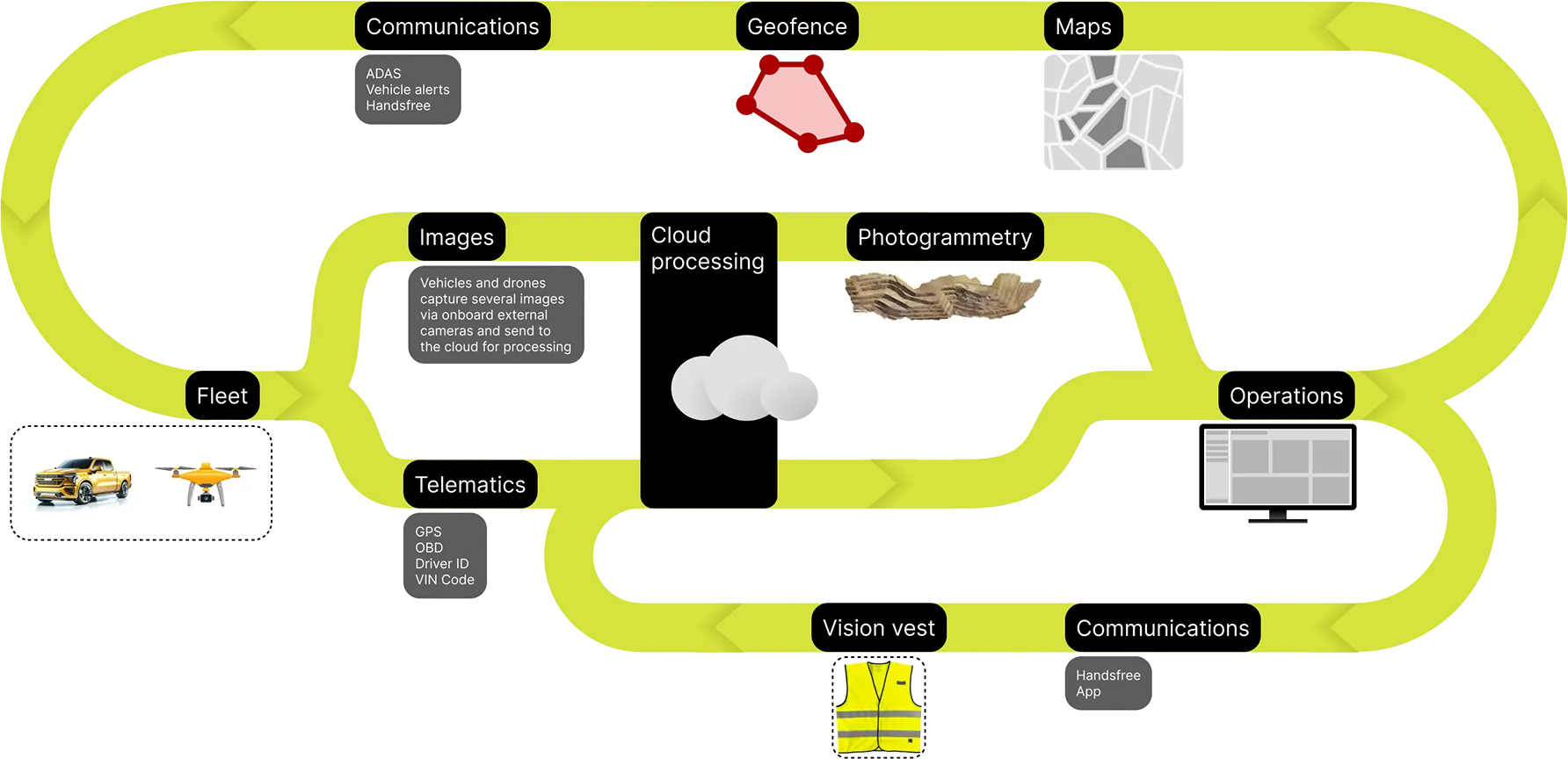
Ultimately, I proposed using the cameras already present on construction fleets. This was the radical part, it doesn't need any fancy equipment to be deployed, making the solution more scalable, cost-effective and easier to pilot.
Vehicles capture several images and send them to the cloud for processing, where photogrammetry stitches them into a 3D model of the site, and a neural radiance field enhances it by rendering realistic views from sparse image data.
UX implementation
The dashboard
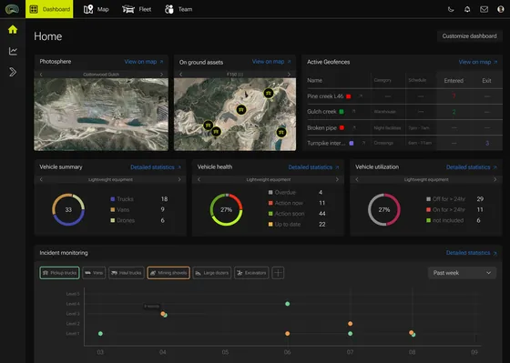
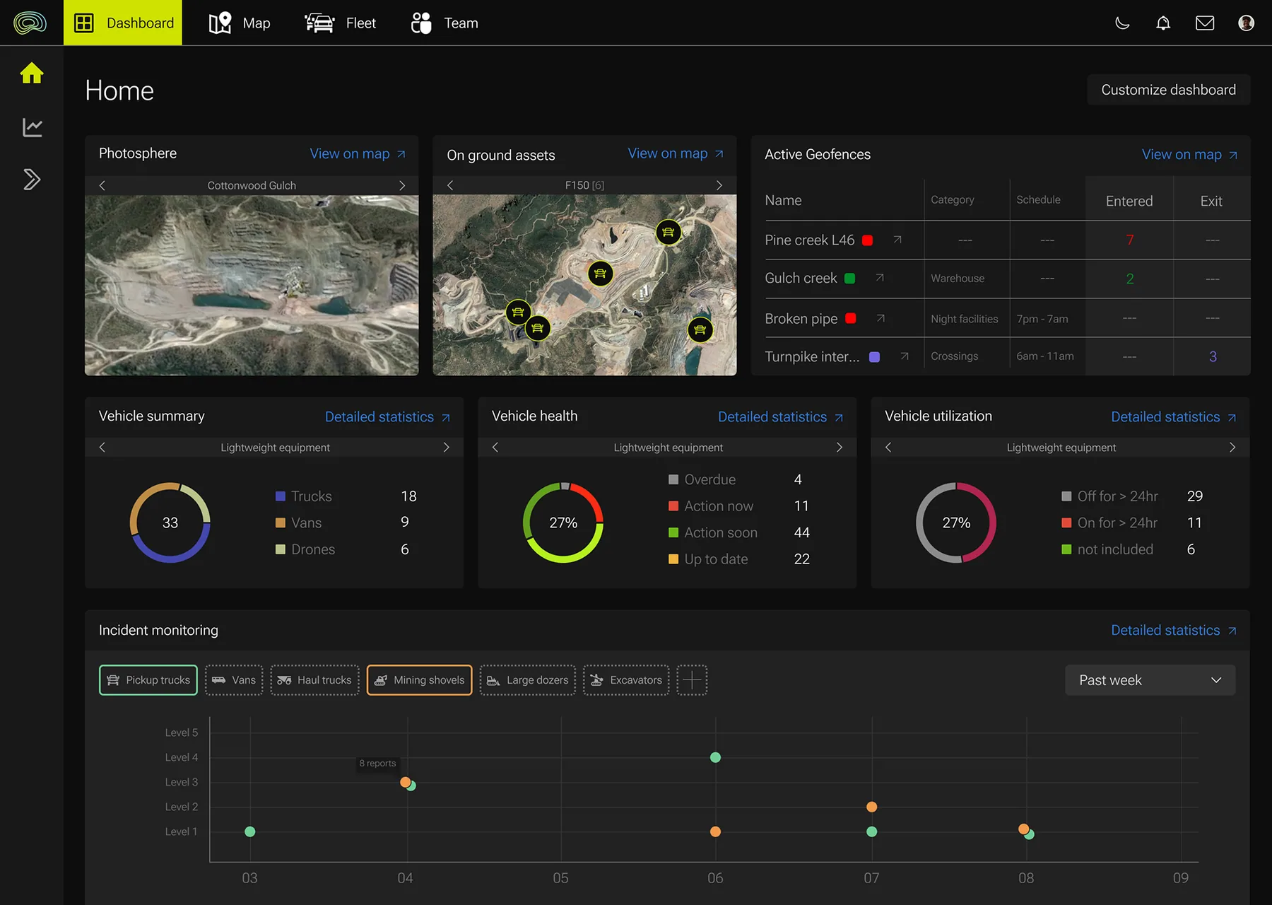
A safety manager has to keep track of a whole site that keeps changing, and spot a problem before it turns into an incident. So this dashboard gives them a real-time overview of fleet operations and site conditions in one place. It's modeled after Ford's fleet management software.
What you see upfront
- Photosphere An aerial view of the site
- On ground assets Where each vehicle type is on the map
- Active geofences Each zone with its category, schedule and vehicles entering or exiting
- Vehicle summary What's on site across trucks, vans and drones
- Vehicle health What's overdue, needs action now or soon, and what's up to date
- Vehicle utilization What has been off or on for over 24 hours
- Incident monitoring Incidents over time by severity level, filtered by vehicle type
Every panel then leads to the map or to detailed statistics.
Site preparation
Adding a geofence with 3D photo capture
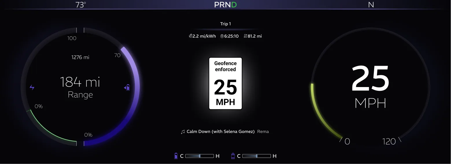
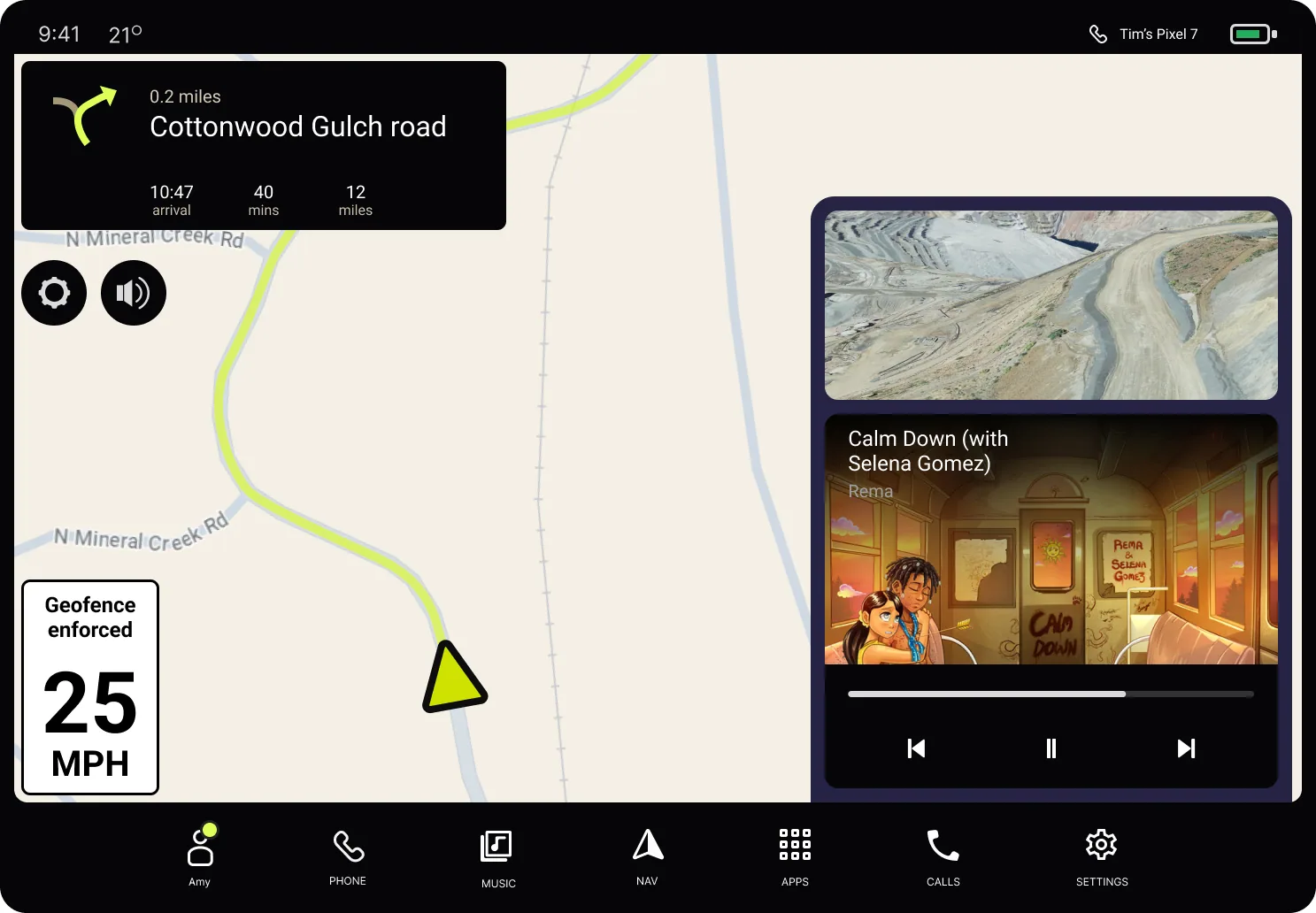
New excavation activity is scheduled for a new area on the site, and large machinery is due to move in. The fleet manager wants to make sure the site is appropriately geofenced and 3D mapped, so that every smaller vehicle that enters the area is aware of the level of required precaution and follows the necessary safety protocol.
- Selects geofence
- Names it
- Adds message
- Adds alert level
- Publish
Incident response
Remote incident analysis using 3D capture
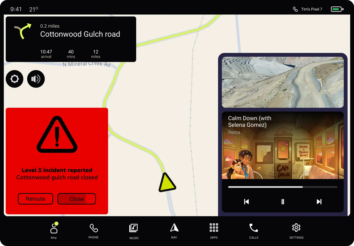
A level 5 incident is reported on the job site. A high wall in a mining area has collapsed, which is a serious threat to nearby workers. The safety manager needs to inspect the area and notify all "on-duty" operators, and would like to remotely inspect the area before visiting the site in person.
The fleet
- Enters high-risk geofence
- Triggers image capture
- Sent to the cloud
The safety manager
- Sees incident on map
- Deploys drones if necessary
- Clicks the 3D photo
- Inspects in 3D
- Adds geofence to notify fleet
Night-time inspection
A geofenced boundary around moving assets
A site is being inspected by a few operators along with superintendents. The inspection is taking place at night when visibility is poor and safety is of utmost concern. The fleet manager wants to make sure every driver or operator who enters the inspection site is alerted of human presence in the area.
- Selects assets
- Adds boundary
- Names it
- Adds message
- Adds alert level
- Publish
Validation
Validating the design
Since this was an early-stage concept engagement, we used bodystorming, qualitative methods and expert input. We recreated past Level 5 safety incidents using storyboards, Figma prototypes and bodystorming sessions, and for each scenario we identified key failure points and walked through how features like real-time tracking, geofencing and 3D mapping could have mitigated the event.
We also did scenario-based walkthroughs with internal subject matter experts, and used video-based prototyping to roleplay night-time hazards.
Outcome and handoff
- Successfully acquired the project for further development with the client, unlocking additional revenue potential
- Delivered design solutions that served as foundational inputs for Phase 2 implementation
- Identified design opportunities that supported Ford's long-term goals for its commercial vehicle and services strategy
- Acted as an innovative sales exercise by engaging the customer directly in the design process
- Helped educate clients on Ford's future roadmap and emerging tech capabilities
- Strengthened relationships and built credibility with key clients